Walk Summary
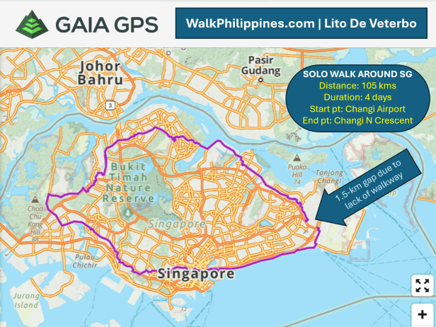
Start point: Singapore Changi Airport Terminal 4 Arrival area
End point: Changi North Crescent Road
Distance: 105 kms
Duration: Four days
Walk Route
Day 1 – Changi Airport to Kent Ridge MRT Station
Day 2 – Kent Ridge MRT Station to Woodlands Road
Day 3 – Woodlands Road to Punggol MRT Station
Day 4 – Punggol MRT Station to Changi North Crescent Road (1.5 kms shy of the starting point)
Verdict
- Successful in the achieving 100 kms around Singapore on foot
- Do it again to go beyond the roadblock and complete a full 360 circumnavigation via the longer 140-km route
Chronology of events (From most recent)
Day 4
Day Summary
Start point: Punggol MRT Station
End point: Changi North Crescent Road
Distance: 16 kms
Duration: 4.5 hours
4:16 pm – Arrived at the Changi Airport Terminal 4 departure level. Washed up, checked in and flew back to Manila via Cebu Pacific
3:30 pm – Completed the 105-km walk at Changi North Crescent Road, having faced a roadblock that prevent the completion of a full 360-degree circumnavigation
9:30 am – Singaporean host-friend Hang Chong sent off Lito at Marsiling MRT Station for a trip back to Punggol MRT Station to resume the walk on this final day.

Day 3
Day Summary
Start point: Woodlands Road
End point: Punggol MRT Station
Distance: 27 kms
Duration: 7 hours
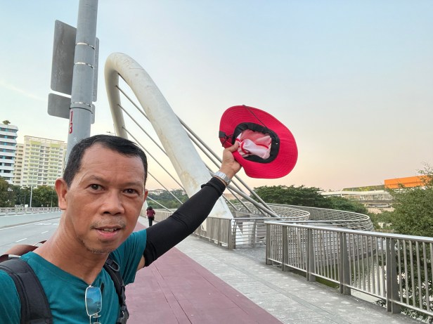
5:45 pm – Completed Day 3 at Waterway Point, shopping mall located next to Punggol MRT station.
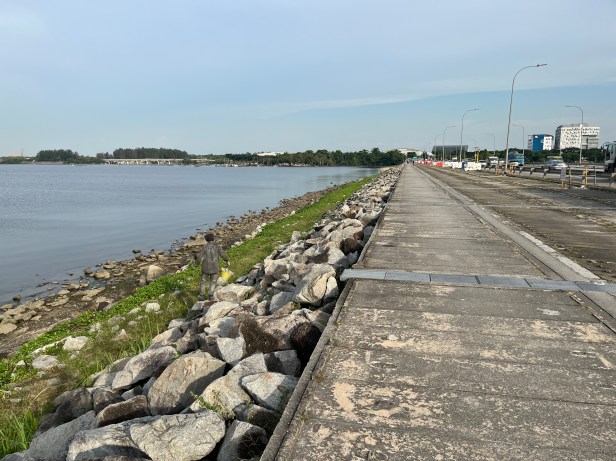
Mid-afternoon – Crossed Yushin Dam
2:36 pm – A double-decker bus with a traffic light that actually works

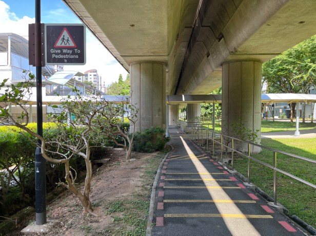
2: 20 pm – Walking along a walkway right under the MRT line
12:49 pm – Nearing Marsiling MRT Station, having resumed walk for the day at Woodlands Road
Day 2
Day Summary
Start point: Kent Ridge MRT Station
End point: Woodlands Road
Distance: 29 kms
Duration: 9 hours
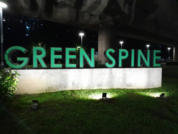
After dinner – Walked along Green Spine underneath MRT line in Chua Cho Kang/ Yew Tee area.
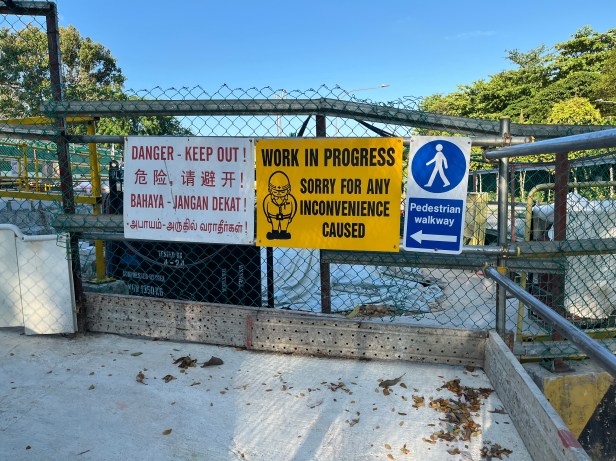
5:41 pm – Singapore has adequate signages to ensure pedestrian safety, especially in areas where construction is in progress
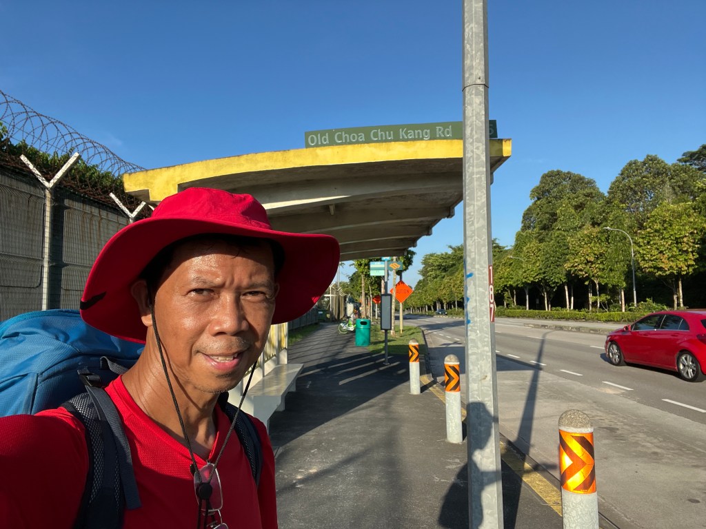
5:40 pm – Cruising along the deserted Old Chua Chu Kang Road. It was scary because the area is remote with zero to limited human activities, and it was nearing night fall.
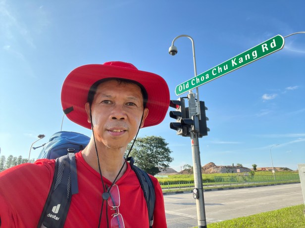
5:16 pm – At the corner of Lim Chu Kang Road and Old Choa Chu Kang Road. This was a decision point: Go straight to Lim Chu Kang Road or turn right at Old Choa Chu Kang Road.
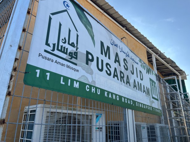
5:03 pm – A quick, sit-down rest at the Masjid Pusara Aman
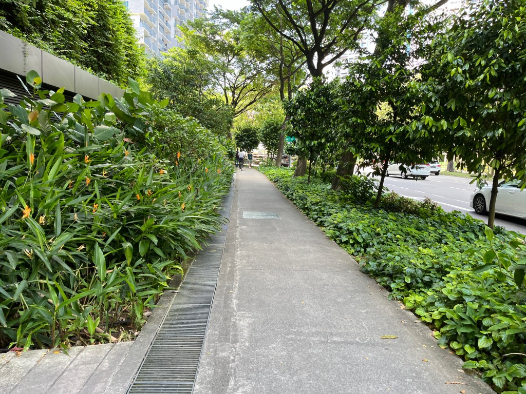
Morning – The plant-lined and covered sidewalks
Day 1
Day Summary
Start point: Changi Terminal 4 Arrival area
End point: Kent Ridge MRT Station
Distance: 32 kms
Duration: 9 hours
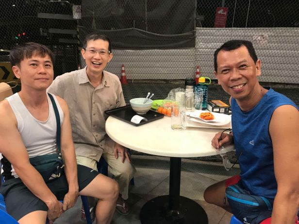
7:45 pm – Capped Day 1 with dinner and drinks with Singaporean host-friends Chee Hwa and Hang Chong in Keat Hong.
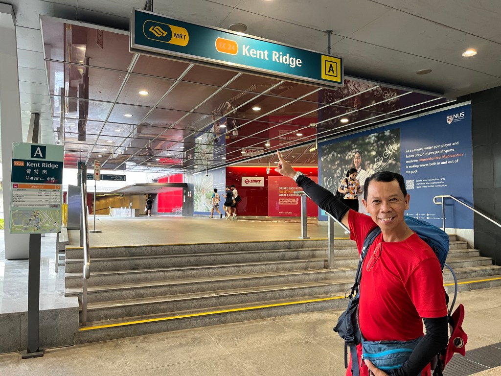
6:17 pm – Ended Day 1 at Kent Ridge MRT Station.
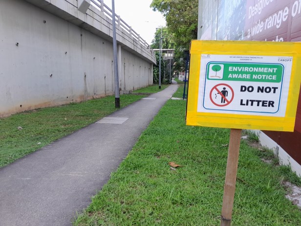
5:09 pm – Environment awareness signages provide guidance
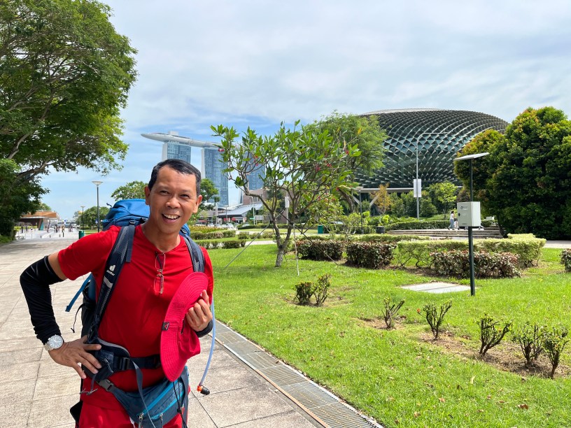
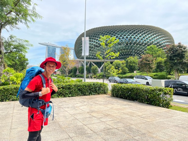
1:41 pm – Downtown
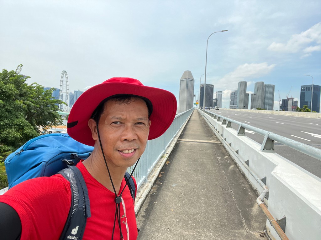
12:47 pm – Crossing the East Coast Parkway bridge towards downtown
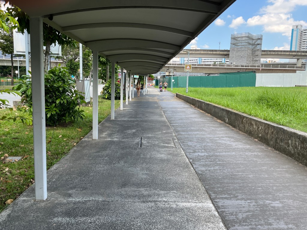
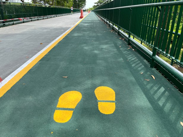
11:50 am – Properly marked walkway ensures pedestrian safety
11:26 – Cruising along the well-maintained East Coast Park
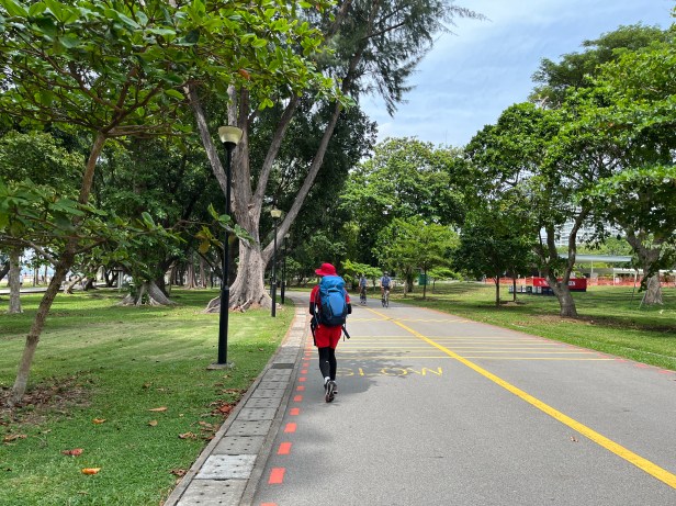
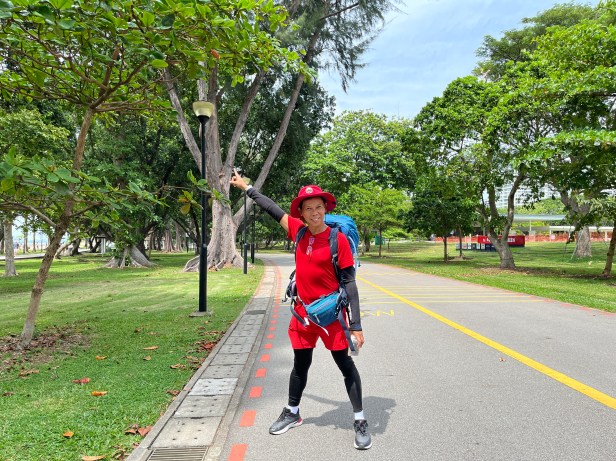
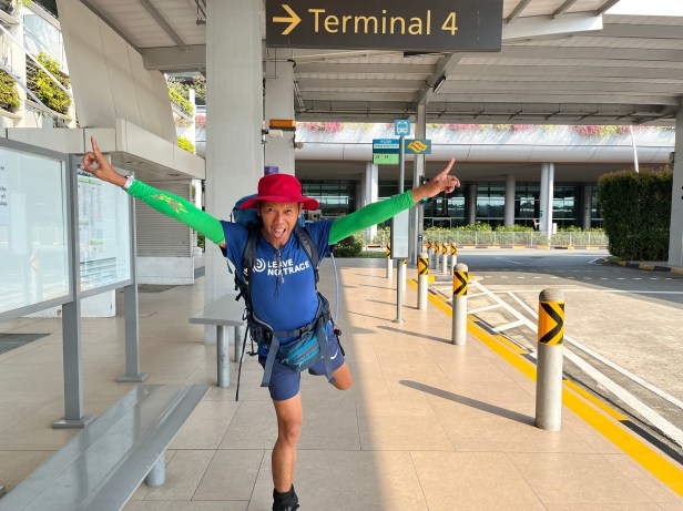
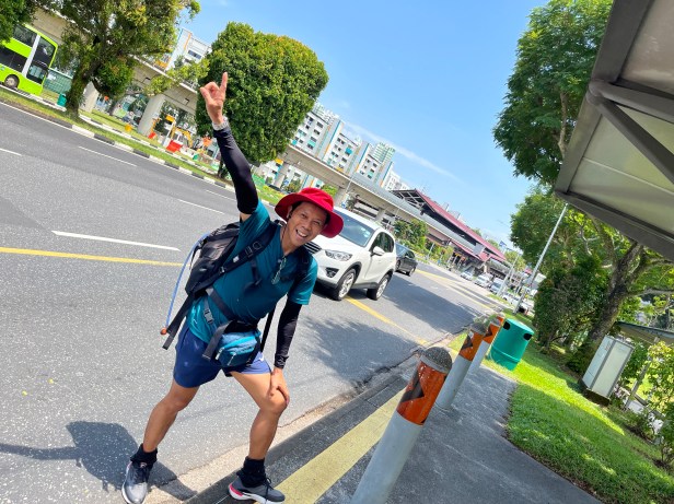
8:30 am – Commenced walk at the information desk, with a photo opp outside the arrival area
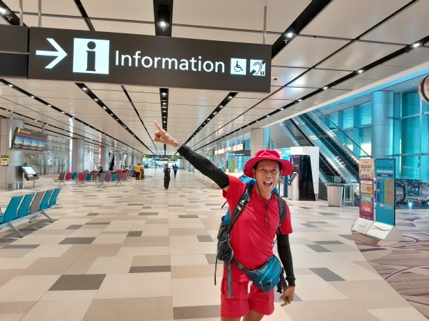
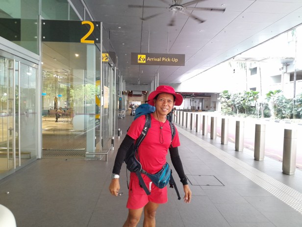
2:00 am – Arrived at Changi Airport Terminal 4 following a four-hour flight from Manila. Slept at the arrival area. Recharged cellphone, had breakfast.
Up next: Repeat to complete a full 360 circumnavigation via a longer 150-km route
